


Sydney Airport has introduced an indoor Google Maps feature that delivers delivers the most up-to-date terminal location information via indoor Google Maps and will allow millions of passengers to travel through the airport using familiar technology.
Sydney Airport General Manager Technology Stuart Rattray said the introduction of indoor Google Maps enhanced the airport’s service to passengers.
“We’re pleased to welcome indoor Google Maps across our terminals, and we’re confident this new interactive feature will assist passengers with a more seamless journey through the airport,” Mr Rattray said.
“The new maps give our visitors visibility of airport location information at the touch of a button, and we expect travellers will enjoy the benefits of accessing this information as they navigate through the terminal to reach their gate.
“Importantly, this initiative builds on our commitment to transform the airport experience through adding innovative digital technologies and our open data strategy to better serve the 42 million passengers who use Sydney Airport each year.”
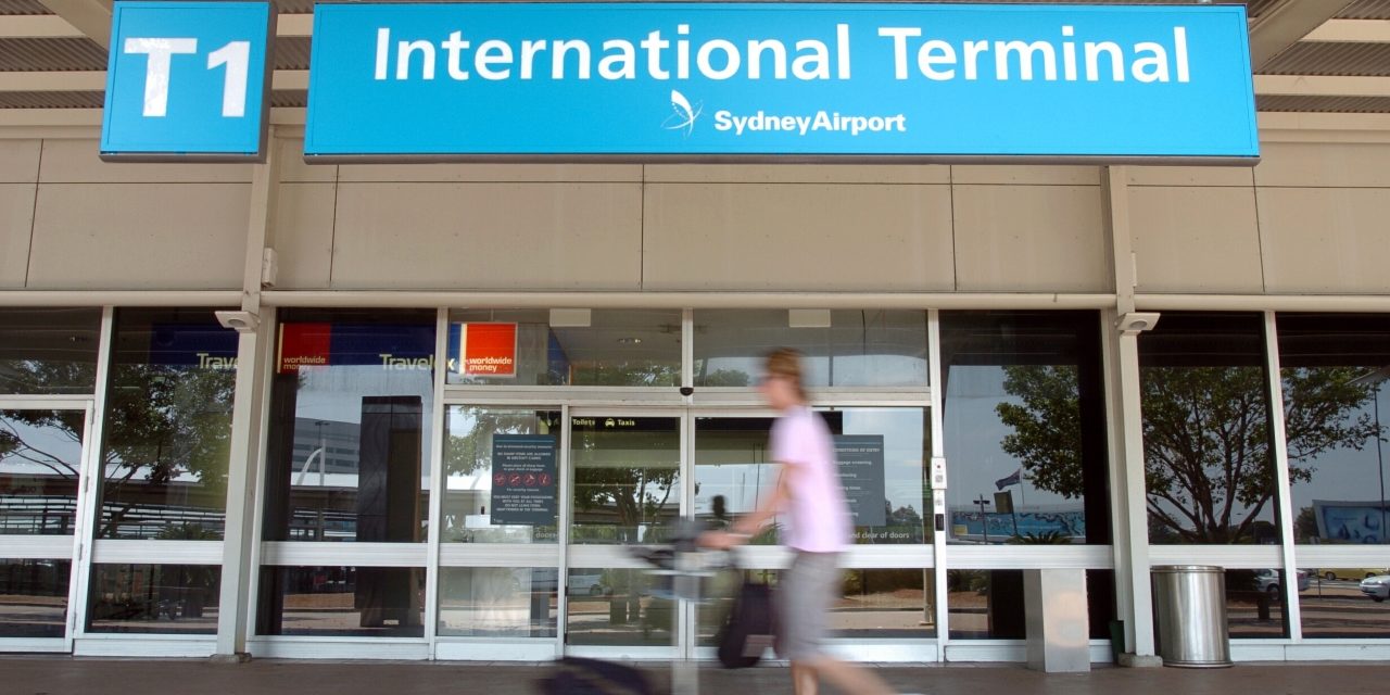
The maps feature all of the airport’s facilities including gates and check in counters, retailers and other locations of interest across its multi-level floors through the T1 International and T2 Domestic terminals, with T3 to be added shortly.
Visitors and passengers using the new maps will benefit from Google’s intuitive search capabilities, such as locating similar nearby stores to those previously searched, as well as the ability to share live social media feedback on retailers directly from the app or website.
The zoomable maps’ other features include both indoor and outdoor coverage and integration with various modes of transport.
The initiative is part of Sydney Airport’s technology strategy, which has seen the airport roll out a range of new and customised technology measures, including free Wi-Fi, self-service check-in, automated bag drops, SmartGates, and multilingual wayfinding e-directories.


